Battery Hill Project
Manganese X Energy Corp. (MN) Battery Hill manganese property is located in the Canadian province of New Brunswick. The Fraser Institute has called New Brunswick one of the best mining jurisdictions in Canada.
The property consists of 55 claims covering 1,228 hectares approximately 5 km northwest of the town of Woodstock in Carlton County, south western New Brunswick (click map below to view full size version). It encompasses all or parts of five manganese-iron zones including Iron Ore Hill, Moody Hill, Sharpe Farm, Maple Hill and Wakefield. In his Master’s Thesis on the Woodstock area manganese occurrences, Brian Way (2012) reports that the area “hosts a series of banded iron formations that collectively constitute one of the largest manganese resources in North America, approximately 194,000,000 tonnes”.
Perry MacKinnon, P.Geo, of Perry MacKinnon Consulting, Skir Dhu, Nova Scotia was commissioned by Manganese X Energy Corp. (MXE) to complete an updated National Instrument 43-101 Technical Report on its 100% owned manganese-iron (Mn-Fe) occurrence properties near Woodstock, New Brunswick.
2021 BATTERY HILL Technical Report


BATTERY HILL PROPERTY SPECS
MN’s Battery Hill property is approximately 6 km long on a north-south axis and approximately 1.7 km wide, east-west. The property is located beside the hamlet of Jacksonville and 5 km northwest of Woodstock, New Brunswick. In New Brunswick an exploration licence is referred to as a “right number.” MN’s Battery Hill property is officially called Jacksonville and the right number is 5816.
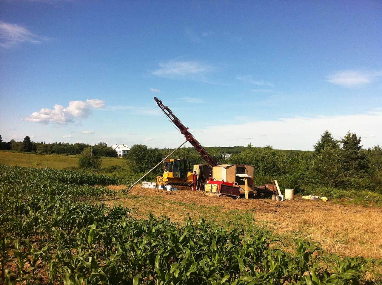
The property is a little more than seven hours travel by car or 714 km east of Montreal Quebec. More than 5,200 people live in Woodstock. The nearest railroad is located in Houlton, Maine which has a population of 6,100 and is approximately 15 km southwest of the property. The closest major city is Fredericton, 95 km to the south, with a population of 56,000. Both Woodstock and Fredericton are on the Trans Canada Highway. There is one paved road and several good quality gravel roads accessing the property. A twinned highway, Route 95 connects to US I-95 which runs from Woodstock to Houlton and passes 3 km south of the property. The Canadian-American border is approximately 12 km west of the property. Major transmission lines run close to the property and there is adequate water available. In early 2016, Perry MacKinnon Consulting prepared a National Instrument (NI) 43-101 Technical Report on the Manganese Occurrences within Exploration Licence 5816 located near Woodstock, New Brunswick. The purpose of the report was to provide a comprehensive independent assessment of the manganese potential of the Battery Hill property. The report reviews and discusses the results of both historic and current surface work along with drilling that was conducted in 2011. The recent fieldwork and drilling were supervised by Perry MacKinnon, P. Geo, who is a qualified person under the terms of NI 43-101. The following information is summarized from MacKinnon’s technical report.
In 1836 an iron-manganese deposit was discovered in the Woodstock area and then mined for almost 40 years, starting in 1848. MacKinnon reports that 70,000 tons, primarily from a mineralized zone named Iron Ore Hill, was mined. The mined material was reported to have been sent to Britain for use in armour plating Royal Navy gun-boats because of its exceptional quality.

The manganese-iron occurrences of the Woodstock area are part of the Early Silurian Smyrna Mills Formation and are associated with banded iron formations within a sequence of shales, silty shales and siltstones (Way, 2012; Kesavanathan et al., 2014). The Smyrna Mills Formation is part of a wider sequence of sedimentary rocks that extends across the U.S. border, into the state of Maine where it hosts similar deposits. In New Brunswick, the favourable package of rocks extends from Jacksontown just north of Jacksonville, south to the US border, a distance of over 20 km.
MN’s Battery Hill property includes the northern portion of the manganese mineralization, from Jacksontown in the north, to the Hartford area in the south and includes the entirety of the Moody Hill, Sharpe Farm, Iron Ore Hill mineralized zones, as well as the Maple Hill and Wakefield showings. Recent surface sampling and drilling in the Iron Ore Hill area has shown that manganese grades and widths of potential economic interest occur on the property (MacKinnon, 2016). In particular, diamond drill hole GNB-11-3, which was drilled away from the known nearby mineralization, intercepted 57 m (core length) of 10.38% Mn indicating that potential for additional manganese zones exists on the property beyond the known historic zones.
Three of the main historic manganese zones plus at least two additional showings identified in historic exploration are located on MN’s Battery Hill property. Sidwell (1957) assessed a number of the manganese-iron zones in the Woodstock area. Based upon surface sampling and limited drilling. Sidwell (1957) described the presence of the following mineralized zones starting from the south; the Moody Hill zone with the potential to contain an estimated 10,000,000 tons (9,072,000 tonnes), the Sharpe Farm zone with the potential to contain 8,000,000 tons (7,257,000 tonnes) and the Iron Ore Hill zone with the potential to contain 25,000,000 tons (22,680,000 tonnes). Sidwell (1957) indicated that these three zones have a range of grades from 7.5% to 10% Mn with an overall estimated average grade of 9% Mn and 13% Fe. The mineralized zone grade and tonnage estimates provided by Sidwell (1957) are based upon limited drilling, ground geophysical surveys and some surface sampling. As such, the estimates provided are considered historic in nature and should not be relied upon in terms of resources, however, they do provide an indication of mineral potential for the target zones.
Three of the main historic manganese zones plus at least two additional showings identified in historic exploration are located on MN’s Battery Hill property. Sidwell (1957) assessed a number of the manganese-iron zones in the Woodstock area. Based upon surface sampling and limited drilling. Sidwell (1957) described the presence of the following mineralized zones starting from the south; the Moody Hill zone with the potential to contain an estimated 10,000,000 tons (9,072,000 tonnes), the Sharpe Farm zone with the potential to contain 8,000,000 tons (7,257,000 tonnes) and the Iron Ore Hill zone with the potential to contain 25,000,000 tons (22,680,000 tonnes). Sidwell (1957) indicated that these three zones have a range of grades from 7.5% to 10% Mn with an overall estimated average grade of 9% Mn and 13% Fe. The mineralized zone grade and tonnage estimates provided by Sidwell (1957) are based upon limited drilling, ground geophysical surveys and some surface sampling. As such, the estimates provided are considered historic in nature and should not be relied upon in terms of resources, however, they do provide an indication of mineral potential for the target zones.

